


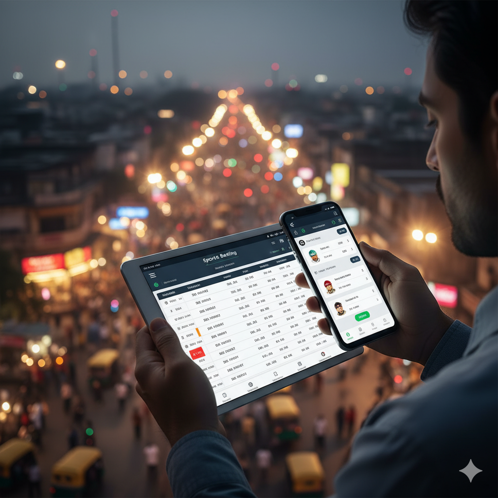


How User-Friendly Is the Waze App for Boating for Beginners?
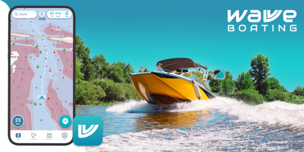
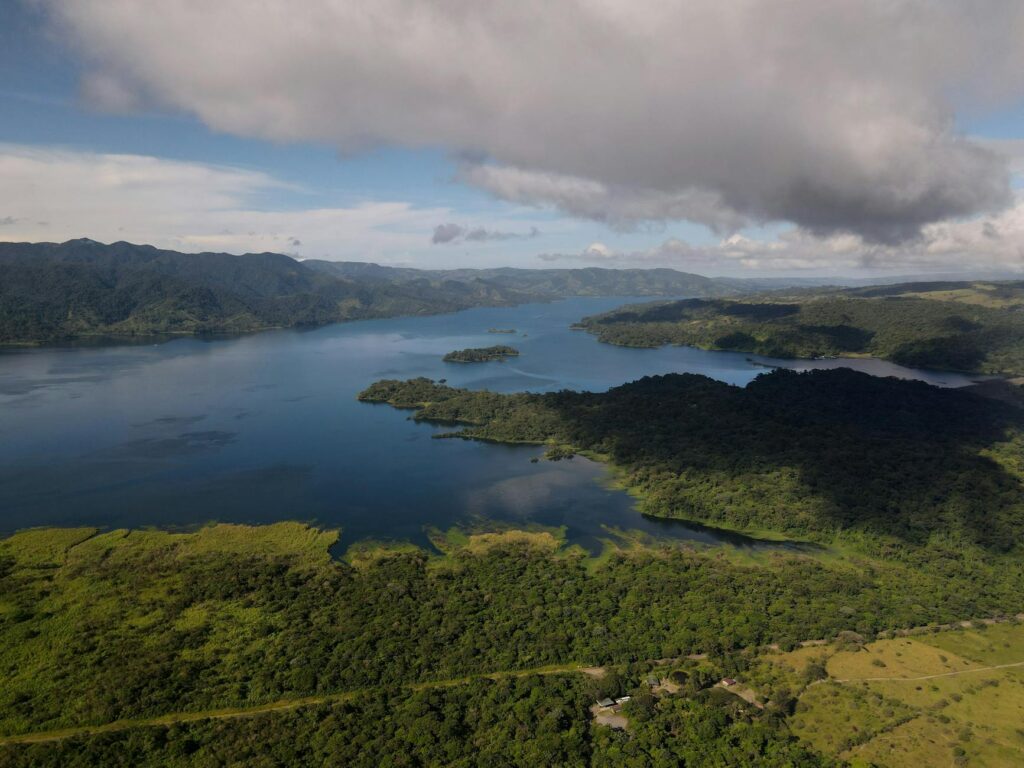
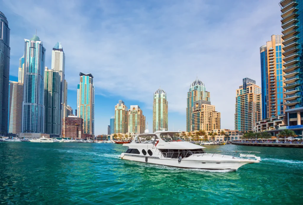
Boating can be exhilarating, but navigation at sea brings a whole different set of challenges. If you’re just starting out, you might wonder whether the waze app for boating is up to the task — especially in coastal and archipelagic areas like Batangas or other parts of the Philippines. While Waze excels on land, its marine capabilities are far more limited. That doesn’t mean it’s useless; rather, assessing its user-friendliness involves understanding what it does well and where it falls short, especially in terms of map accuracy, hazards, real-time routing, and alerts. For beginners, comfort and safety depend on how well a tool anticipates your needs: seeing underwater obstacles, predicting tides or currents, and giving warnings about reefs, buoys, or changing weather. Waze was designed for road traffic, not water traffic, so while its interface may feel familiar, many marine-specific features are missing. In this article I’ll walk you through exactly what a novice boater can expect when using Waze app for boating Philippines, point out its limitations, suggest alternatives, and offer tips so you avoid surprises when you take your boat out for the first time.
What Is Waze Designed For?
Waze is a community-driven navigation app intended for drivers. It provides turn-by-turn directions, traffic updates, road hazard alerts, and estimated arrival times. Its maps are detailed for roads, highways, and urban infrastructure—but its nautical features are almost non-existent. Waterways, tides, marine markers, and other sea-centric data are not part of the core offering. For someone who wants to cross a river, sail past reefs, or check shoal depths, Waze does not supply that information.
Using Waze at Sea: What Beginners Can Actually Do
Even though it was built for the road, a beginner boater could use Waze in some helpful ways:
- Waypoint Planning Along the Coastline: If you’re traveling between islands or along a rugged coastline, Waze can clue you in to nearby coastal towns, marinas, or docking points, since those are often shown on its map.
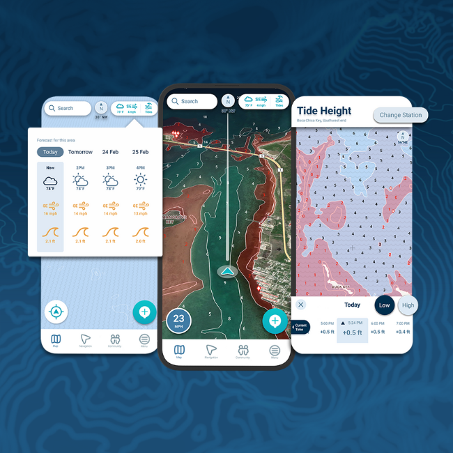
- Visual Familiarity: The map interface is clean, intuitive; zooming in/out and panning around is easy, so you can get a sense of nearby land features.
- Onshore Navigation: If your journey includes driving to a boat ramp or docking point, Waze works perfectly for that segment.
But for open-water navigation, currents, hazards under the surface, or offshore markers—this is where it struggles.
Major Limitations for Beginners
Here are some areas where the Waze app falls short for boating, particularly for those who are not yet confident out at sea:
- No Marine Charts or Depth Information
Nautical charts show underwater topography and depth contours. Waze does not. If you try to follow a route drawn on Waze into shallow or reef-riddled areas, Waze won’t warn you. - Lack of Marine Traffic and Collision Avoidance Features
Boats, buoys, or floating debris aren’t crowd-reported in Waze. There is no AIS integration or alerts about nearby vessels. - No Meteorological or Tide/Current Data
Conditions at sea change fast. Tide times, wind, swell, currents—Waze doesn’t handle any of this. That makes it risky if you rely on it for safety in coastal navigation. - Map Errors Off the Beaten Track
Remote areas, small islands, sandbars — these are often misrepresented or absent. Errors that might be minor for drivers are major for boaters. - Offline Use is Very Limited
When out at sea, internet connection may drop. Waze performance degrades without constant data. Marine navigation tools often allow cached charts and offline use; Waze does not reliably.
Alternatives Better Suited for Boating Beginners
If Waze is good for certain uses but insufficient for others, here are apps, devices, or tools that complement or replace it for marine safety.
- Navionics Boating App – A marine-centric app with detailed nautical charts, depth contours, tide forecasts, route planning for vessels.
- Garmin GPSMAP Units – Handheld or fixed-mount GPS devices made for boating, waterproof builds, often integrate with sonar and marine data.
- SIMRAD or Raymarine Chartplotters – Useful if you have a larger boat; they give real-time position, mapping, and often radar/AIS integration.
As an example of a useful product, if you are equipping your boat, something like a good quality floating life jacket from a trusted outdoor gear retailer can be lifesaving—this Amazon-listed life jacket (for instance) meets essential safety standards.
Tips for Beginner Boaters Wanting to Use Waze
If you do decide to use Waze app for boating Philippines as part of your navigation toolkit, here are tips to get the most out of it:
- Use with Other Marine-Specific Tools: Don’t rely solely on Waze. Use it in conjunction with nautical charts, marine weather forecasts, and depth sounders.
- Mark Safe Landmarks and Marinas Onshore: Use Waze to navigate land portions—drive to launch sites, docking areas, haul-outs.
- Download Maps Ahead of Time: For the land parts, pre-cache or plan your route before going out of cell coverage.
- Be Conservative in Wild Coastal Areas: If you cannot verify whether underwater hazards exist (reefs, rock outcrops), avoid areas where your boat draft might be endangered.
- Learn to Read Marine Charts: Even a basic understanding of contour lines, buoy colors, lighthouses etc., acts as a safety net.
Is Waze User-Friendly for Boating Beginners?
Putting it all together: yes, the Waze interface is familiar, easy to learn, and can help in limited marine/adjoining-land scenarios. It has a shallow learning curve for people used to driving apps. But asking whether it’s safe or sufficient for full boating navigation—that answer is more cautious. For many beginners, it may give a false sense of security if used beyond its capabilities. So its user-friendliness is conditional: good for certain tasks, but not enough for comprehensive marine navigation.
Conclusion
For someone just starting out with boating—especially in coastal or island-rich parts of the Philippines—the Waze app for boating provides basic navigational help when you’re close to shore or on land. However, beyond that, its limitations become significant. To be safe, beginners should pair Waze with true marine navigation tools, invest time in learning chart reading, and carry equipment suited for maritime conditions. In the end, user-friendliness is more than just ease of use—it’s about whether a tool keeps you safe when conditions get complicated at sea.